
2025 NEPDEP Expedition - Seamounts and Mapping
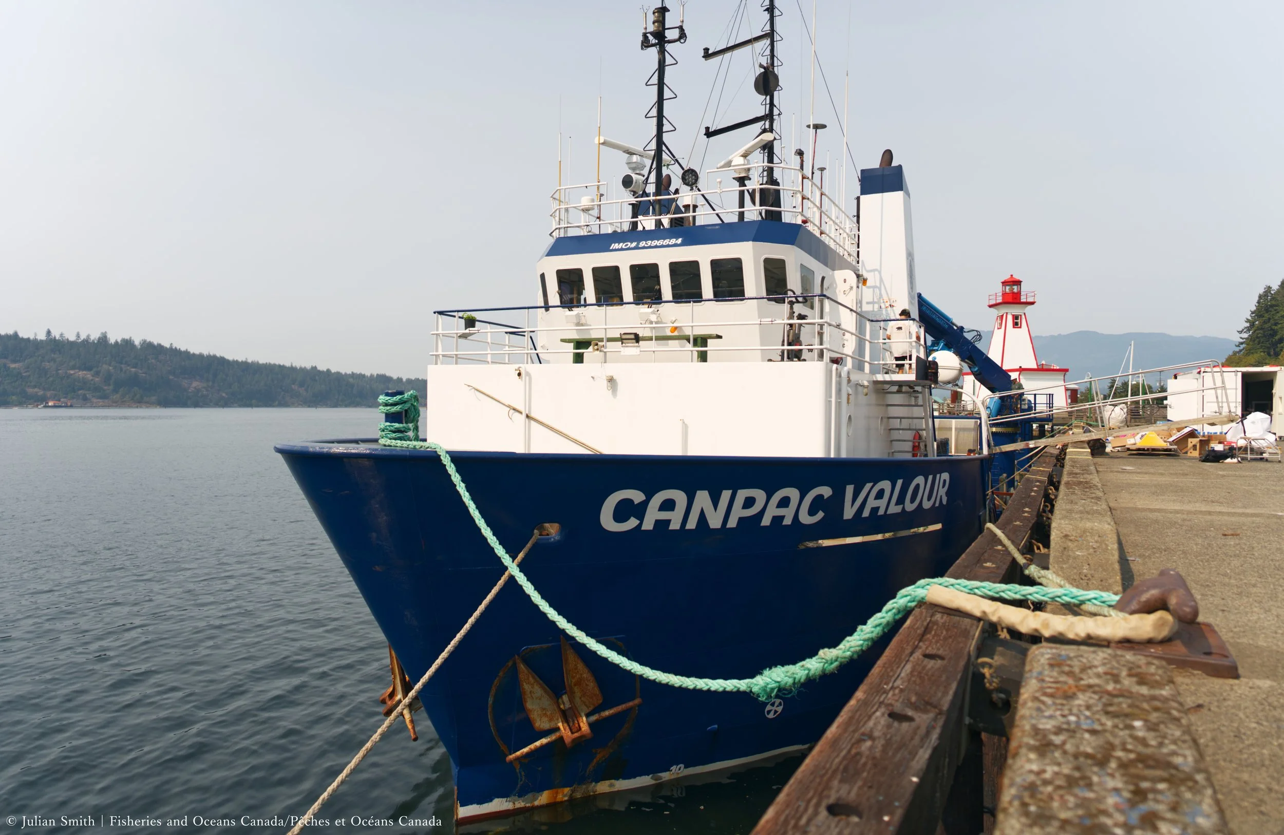
We set sail September 4-18th, 2025 on the Canpac Valour!
This expedition aims to discover, explore, and monitor deep-sea ecosystems while sharing the joy of discovery of the incredible life and wonders hidden far below the waves! We will visually explore the habitats and sampled the waters in and around Ecologically and Biologically Significant Areas (EBSAs) for proposed and existing Marine Protected Areas (MPAs).
We will use the remotely operated vehicle Mantis to conduct science and capture incredible imagery of the deep sea to share with YOU! Thank you for joining us on our journey of discovery.
Watch live here on dive days OR on our Facebook Page!

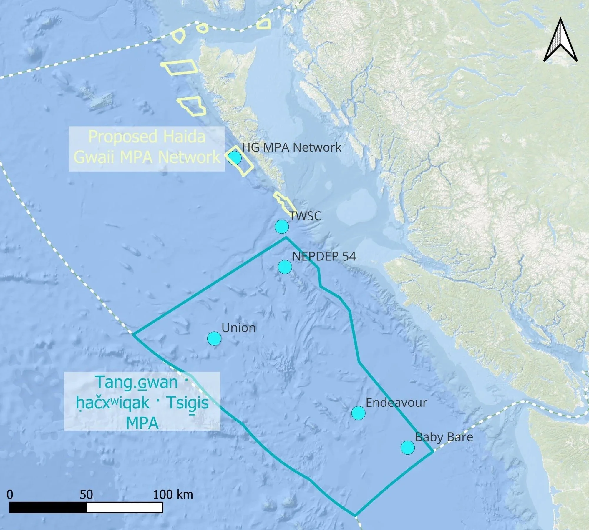
Tuzo Wilson Seamount Complex (TWSC)
Proposed Haida Gwaii MPA Network Sites
Tang.ɢ̲wan · ḥačxʷiqak · Tsig̱is MPA
Study Sites
-
The Haida Nation and Kuuniisii ancestors have strong spiritual and cultural connections with all places and beings in Haida territories. This expedition will go to the NEPDEP 58* Seamount in the Tuzo Wilson Seamount Complex (TWSC), near G̲angx̲id Kun Cape St. James.
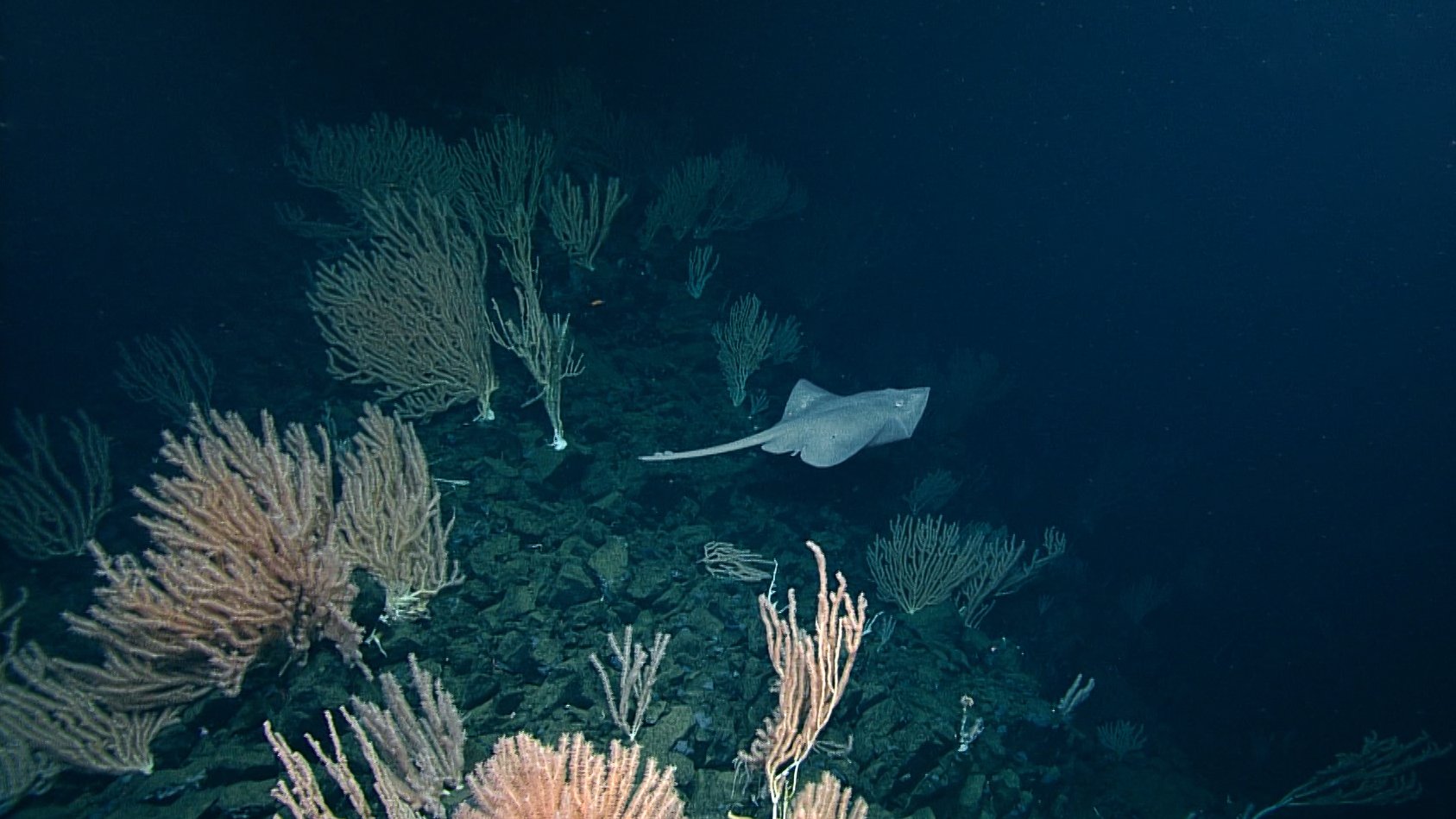
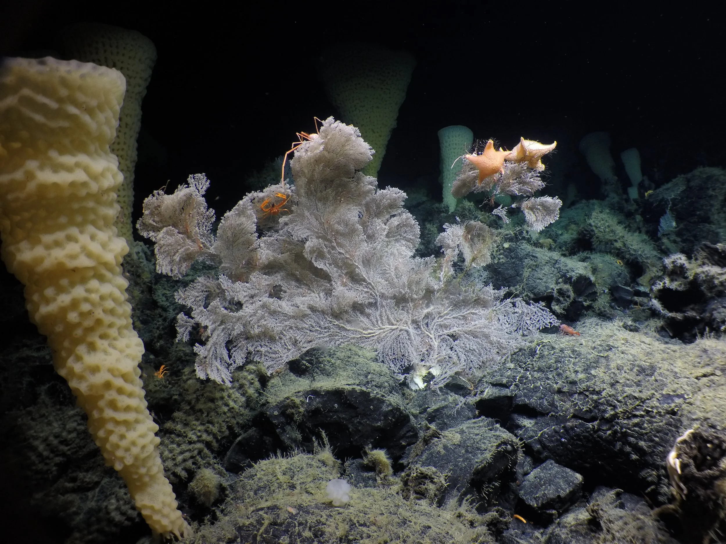
This very unique area provides habitats for all kinds of sea life, including an incredible coral garden that we discovered is a nursery ground for at least three different Ts’íit’aa | Ts’iiɢ̲a | skate species! Our final discovery confirms the seamount has lithospheric hydrothermal activity making it slightly warmer than the surrounding water.
Our research will map the area as well as gather more data on the extent of the coral garden and nursery.
*NEPDEP 58 is a placeholder name for an incredible seamount that will be named by coastal First Nations.
-
We will be exploring deep sites off the west coast of Haida Gwaii that are part of a proposed Marine Protected Area (MPA) Network. The proposed MPA Network in the Haida Gwaii Subregion builds upon decades of work, including work with Elders and Knowledge Holders who participated to the Haida Marine Traditional Knowledge study and through engagement with Haida Citizens, Haida Gwaii residents, and stakeholders. The establishment of Haida Heritage Sites and protected areas continues to uphold Haida Values and Ways of Being.
A network of marine protected areas is a powerful and scientifically proven tool, which will contribute to improving species resilience, restoring abundance and improving ocean health. The proposed MPA Network sites will help to ensure that future generations will inherit the beauty and productivity of Tang.ɢ̲wan the Pacific Ocean.
We will be capturing some of the first imagery of these deep sites, documenting areas of pristine habitat and areas with suspected bottom-contact fishing.
-
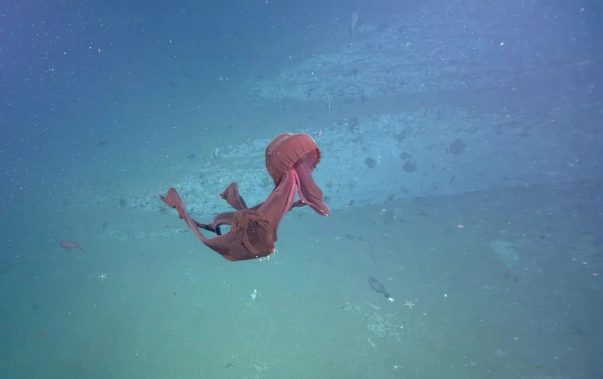
The Tang.ɢ̲wan · ḥačxʷiqak · Tsig̱is Marine Protected Area (TḥT MPA) was established in 2024 and covers over 133, 000 square kilometers. It is home to a remarkably abundant and diverse marine wildlife owing to the region's unique geology. A dense network of hydrothermal vents (fountains of superheated and mineral-enriched water) and seamounts (ancient volcanic mountains over 1,000 m tall) shape the region's ocean floor.
The Nuu-chah-nulth Tribal Council, Council of Haida Nation, Pacheedaht First Nation, Quatsino First Nation, and Fisheries and Oceans Canada work together to cooperatively share in the planning, operation, management and use of the TḥT MPA.
Our research will map areas, as gather more data on changing oxygen levels in the water column, and document the diversity to life to better inform the management of the MPA.
Our home, restaurant, and research lab all in one!
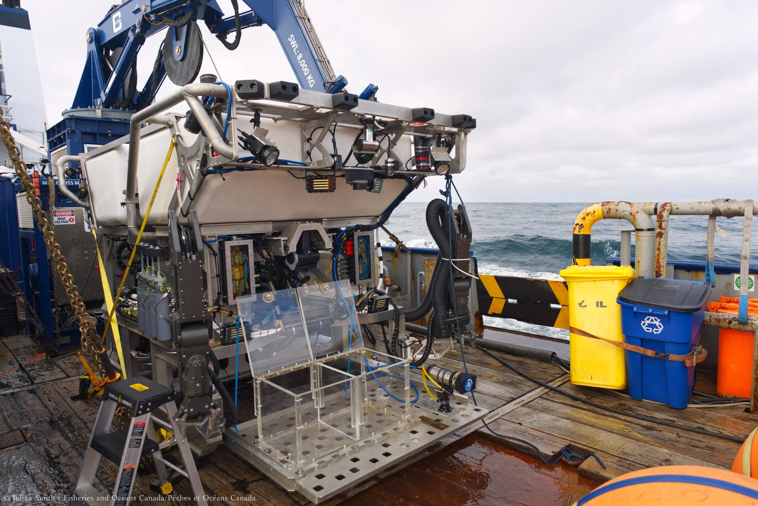
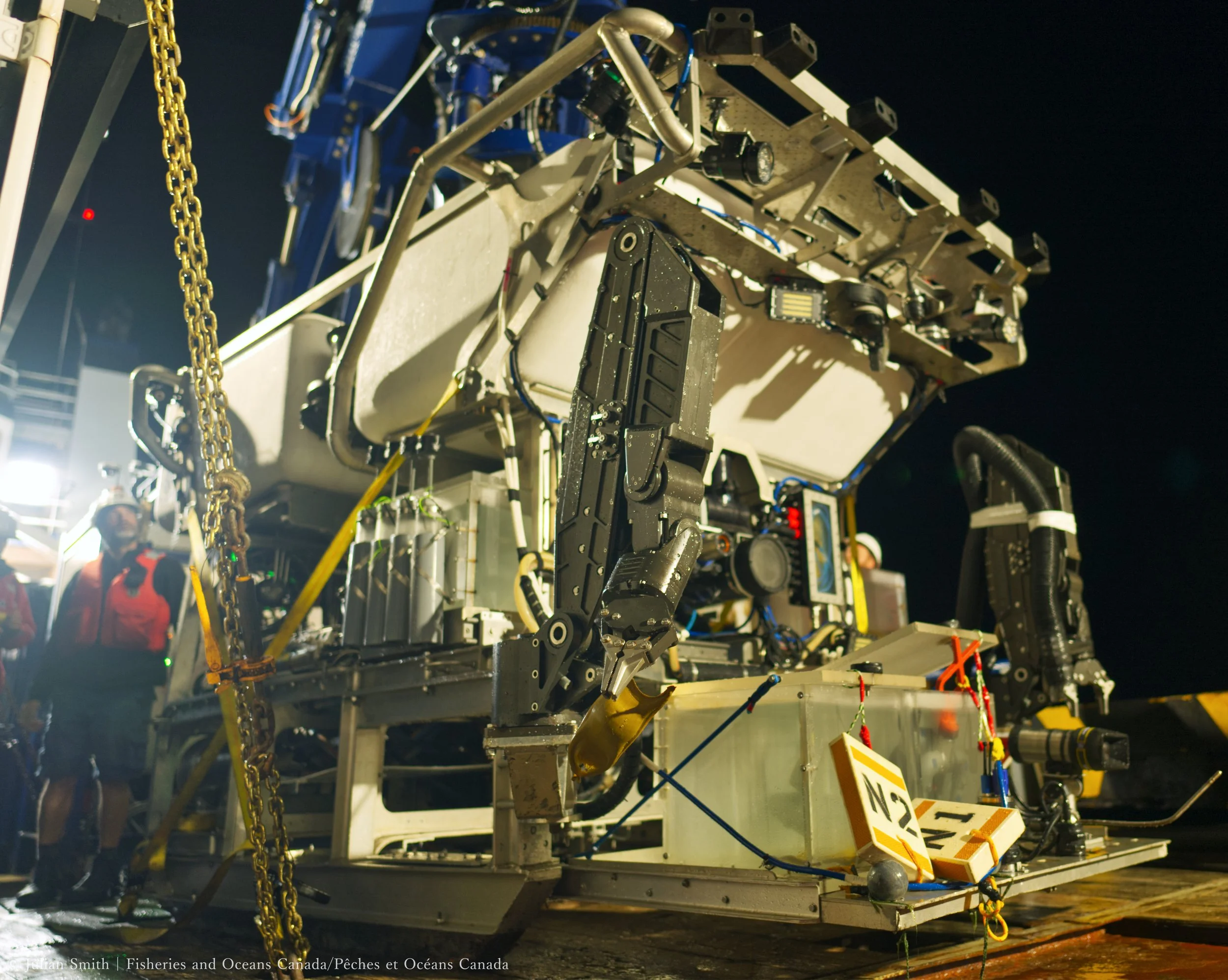
Remotely Operated Vehicle (ROV) Mantis
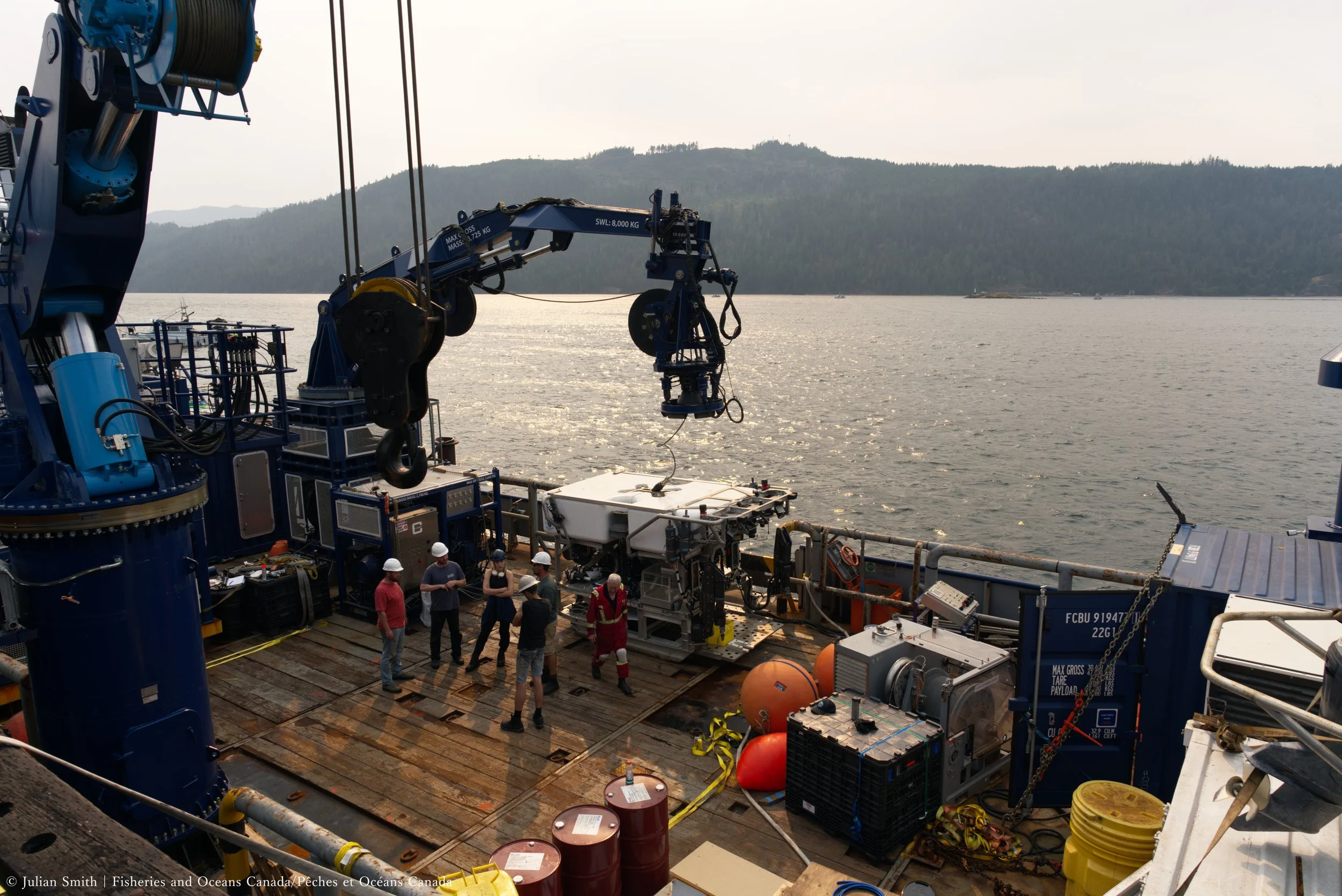
Crew getting ready for expedition
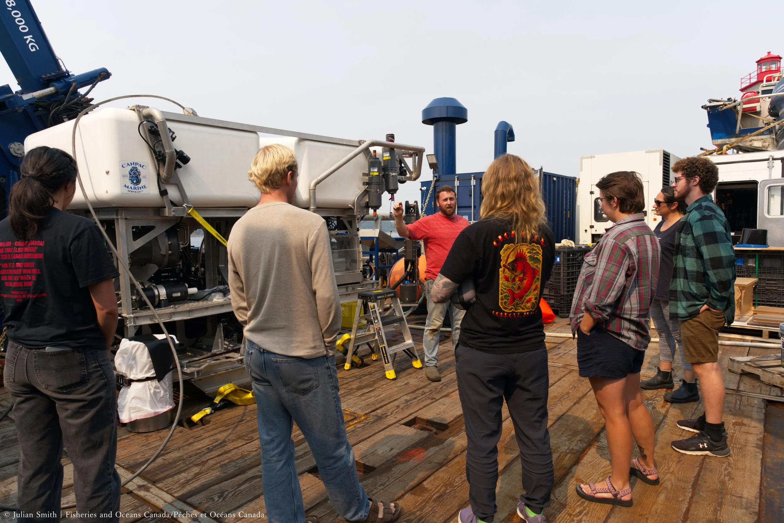
Orientation and briefings for science crew
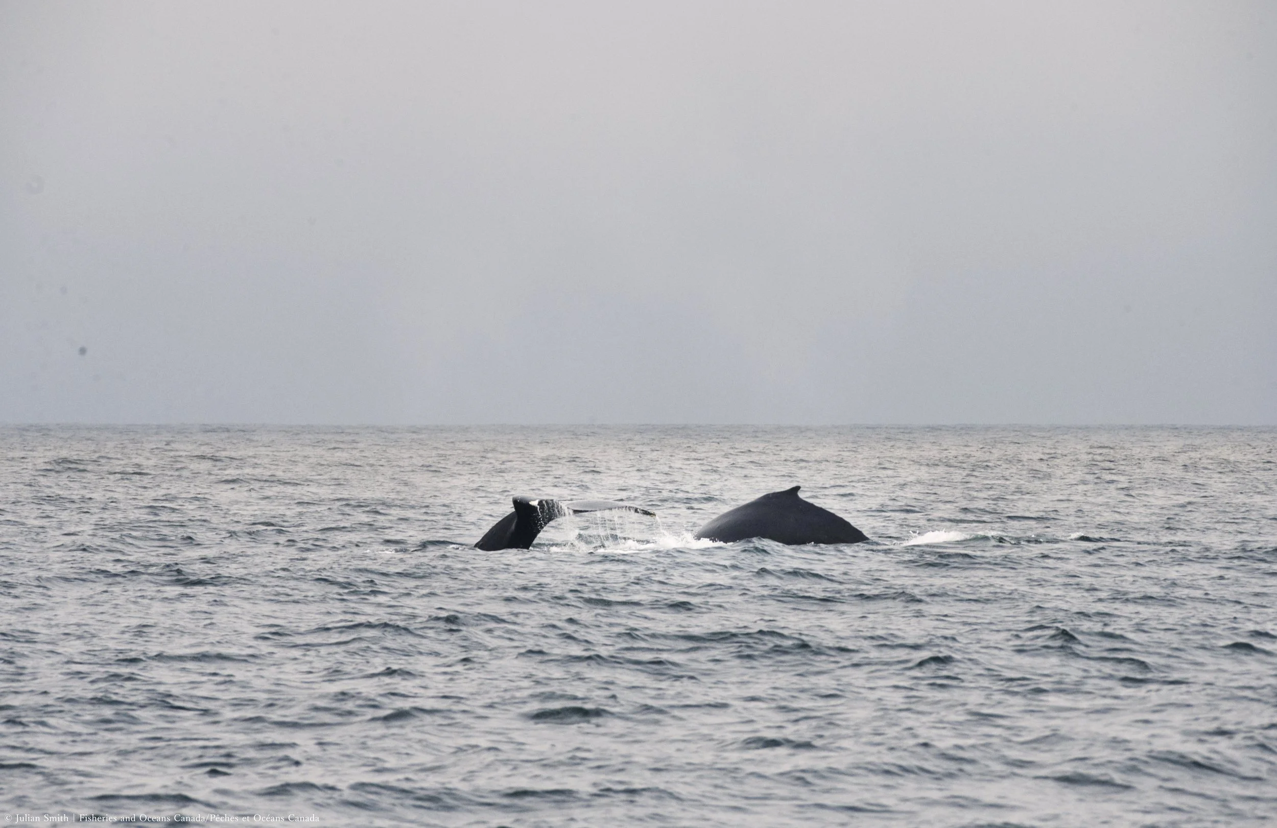
Humpback whales
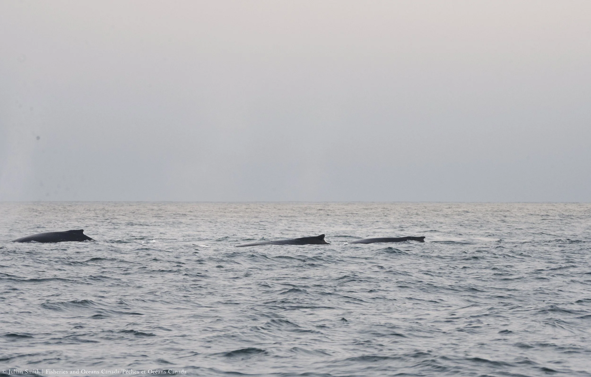
3 Humpback Whales
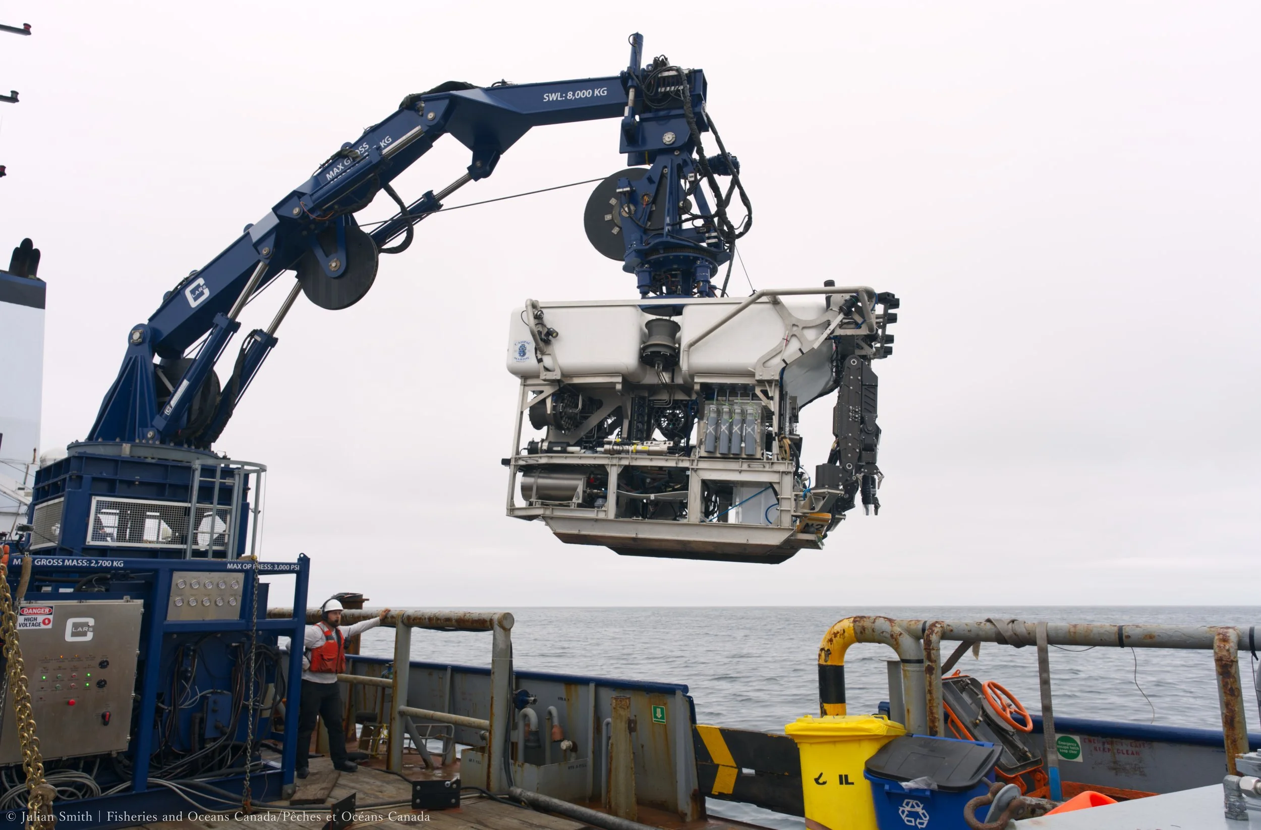
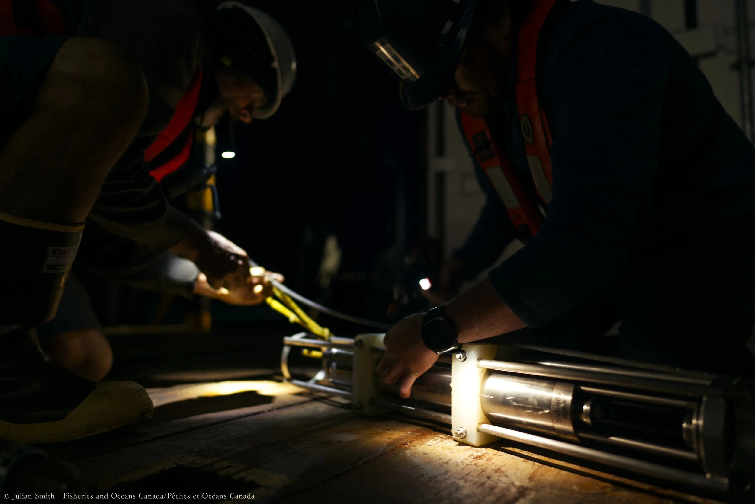
ROV launch
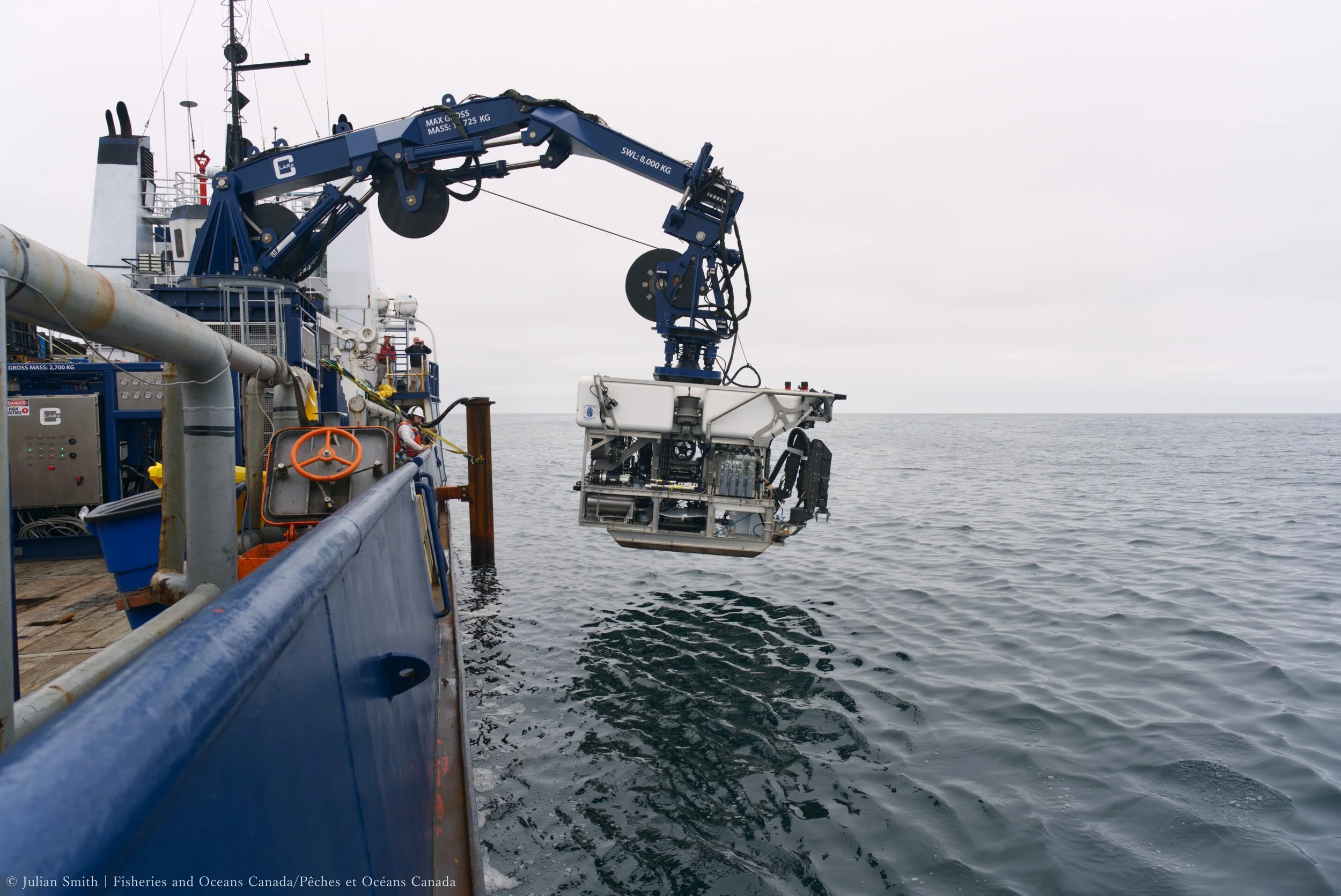
ROV launch
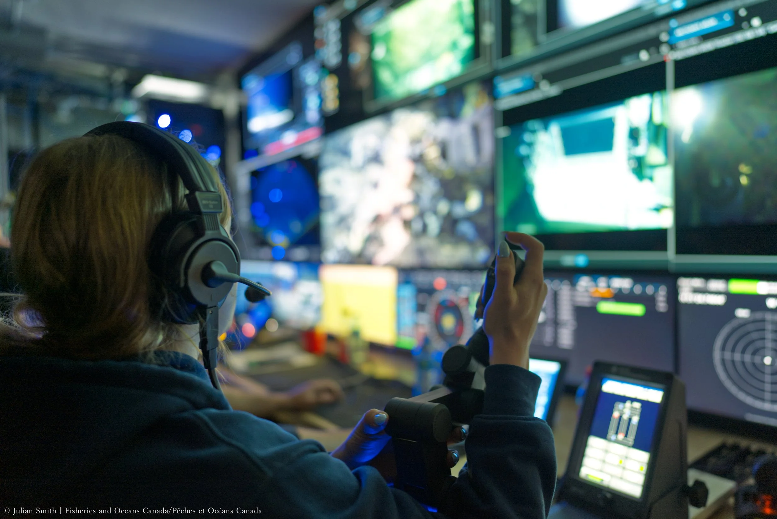
How ROV manipulators are controlled
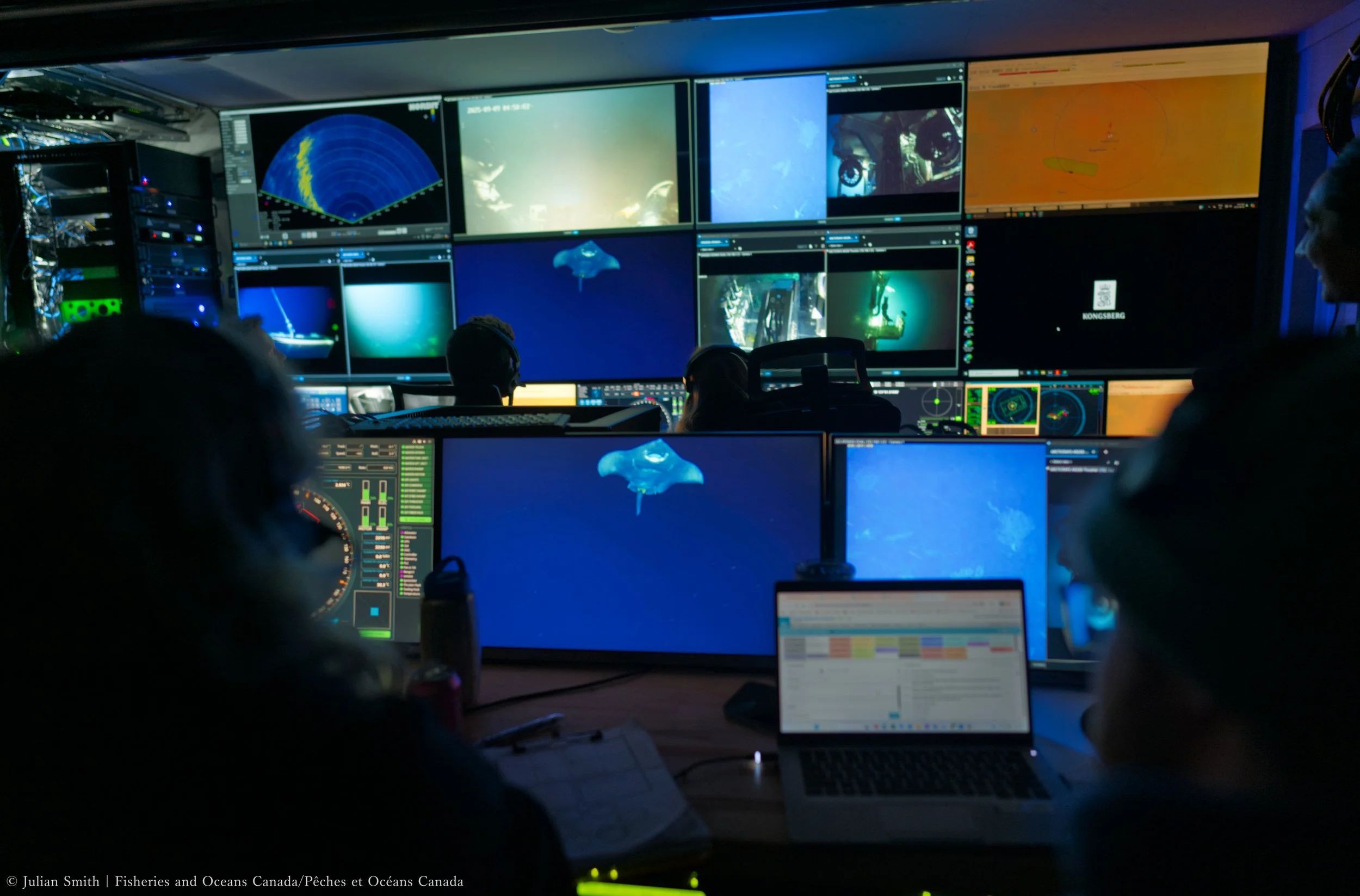
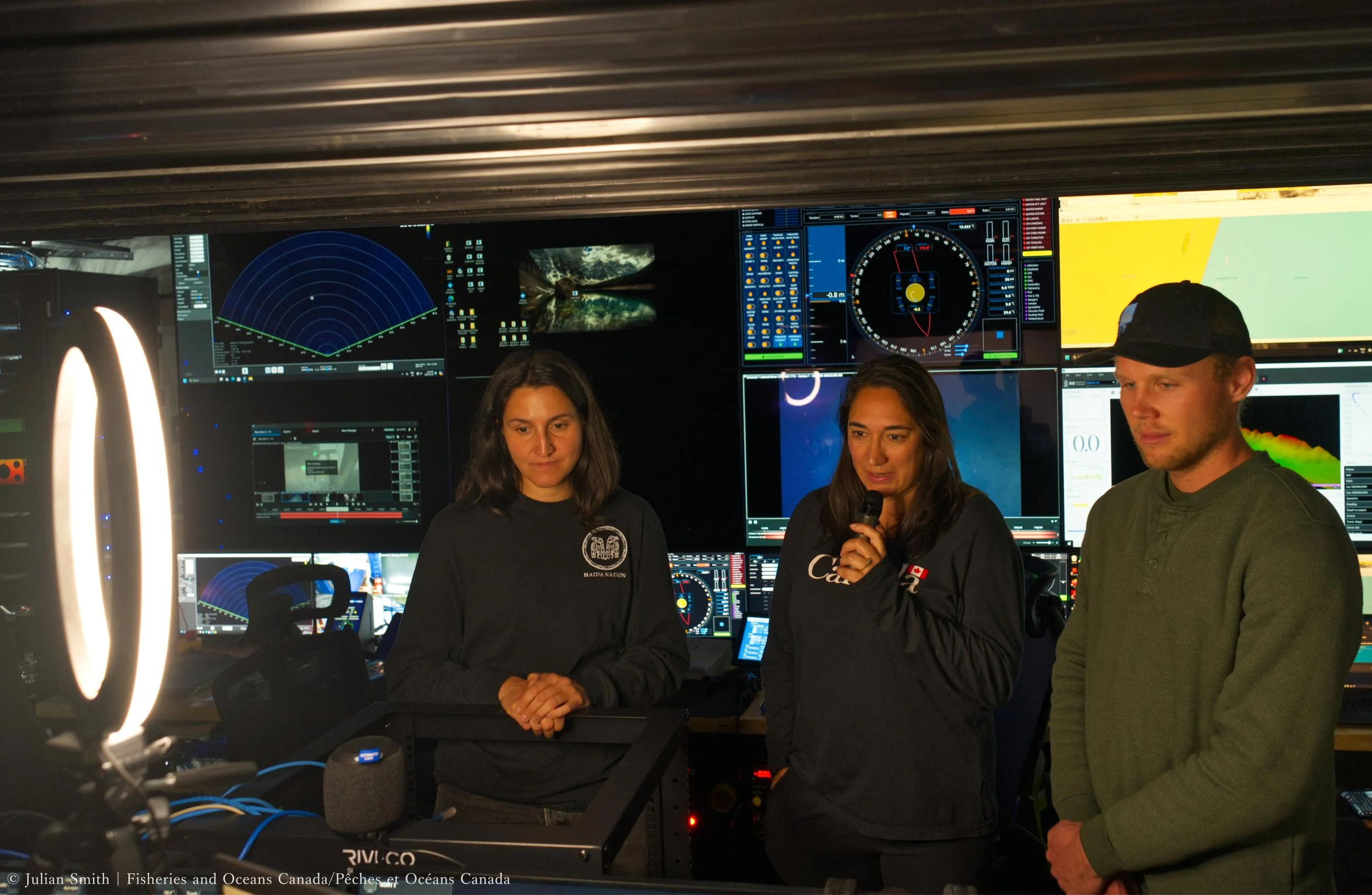
What our ROV pilots are seeing
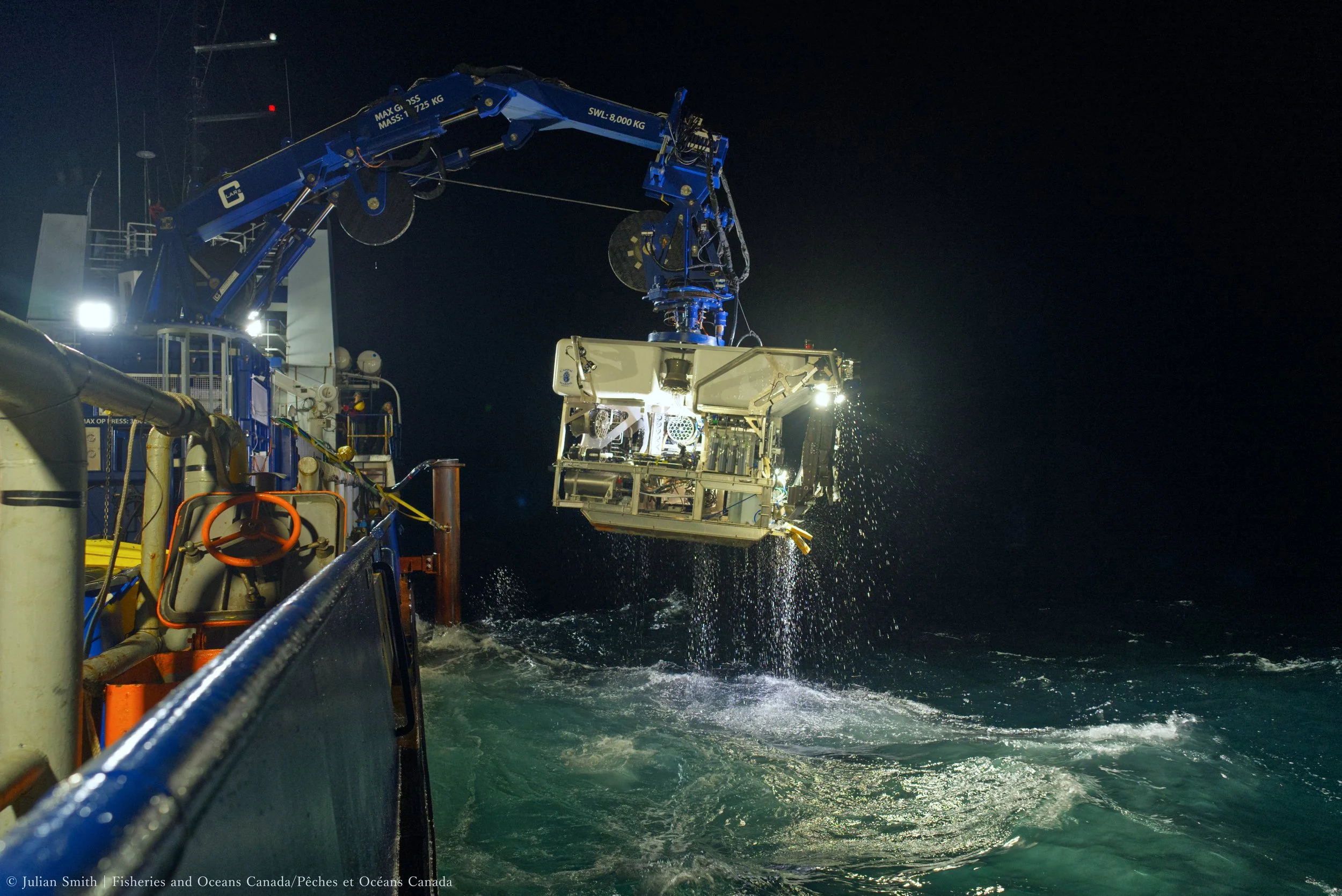
Nighttime recover of ROV Mantis
The work never stops - 24 hour operations
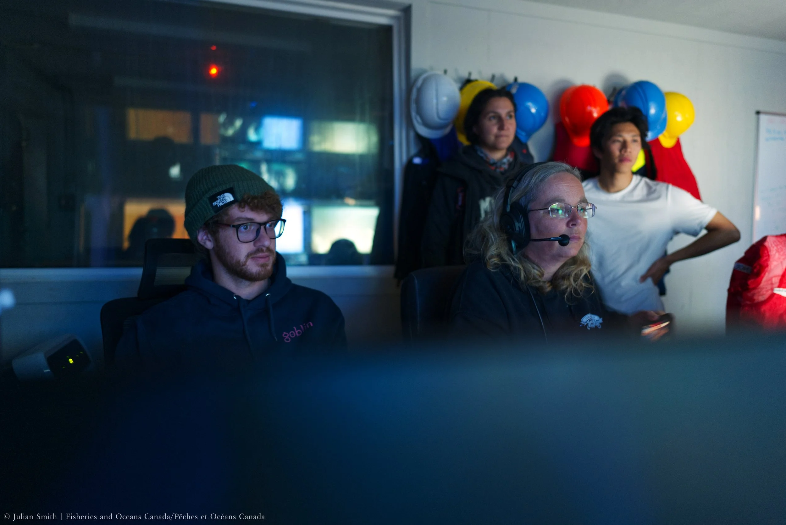
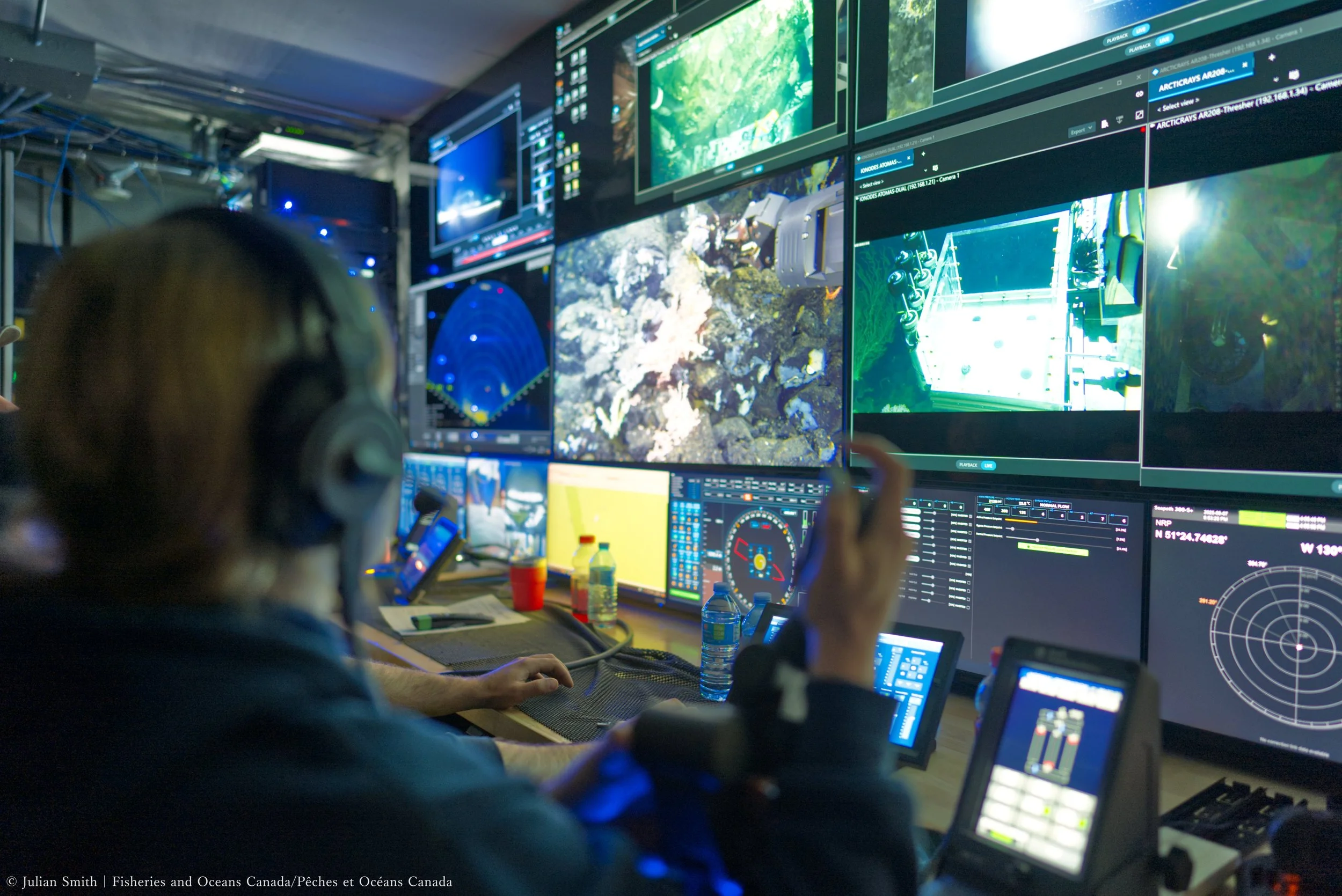
How science directs and watches a dive where...
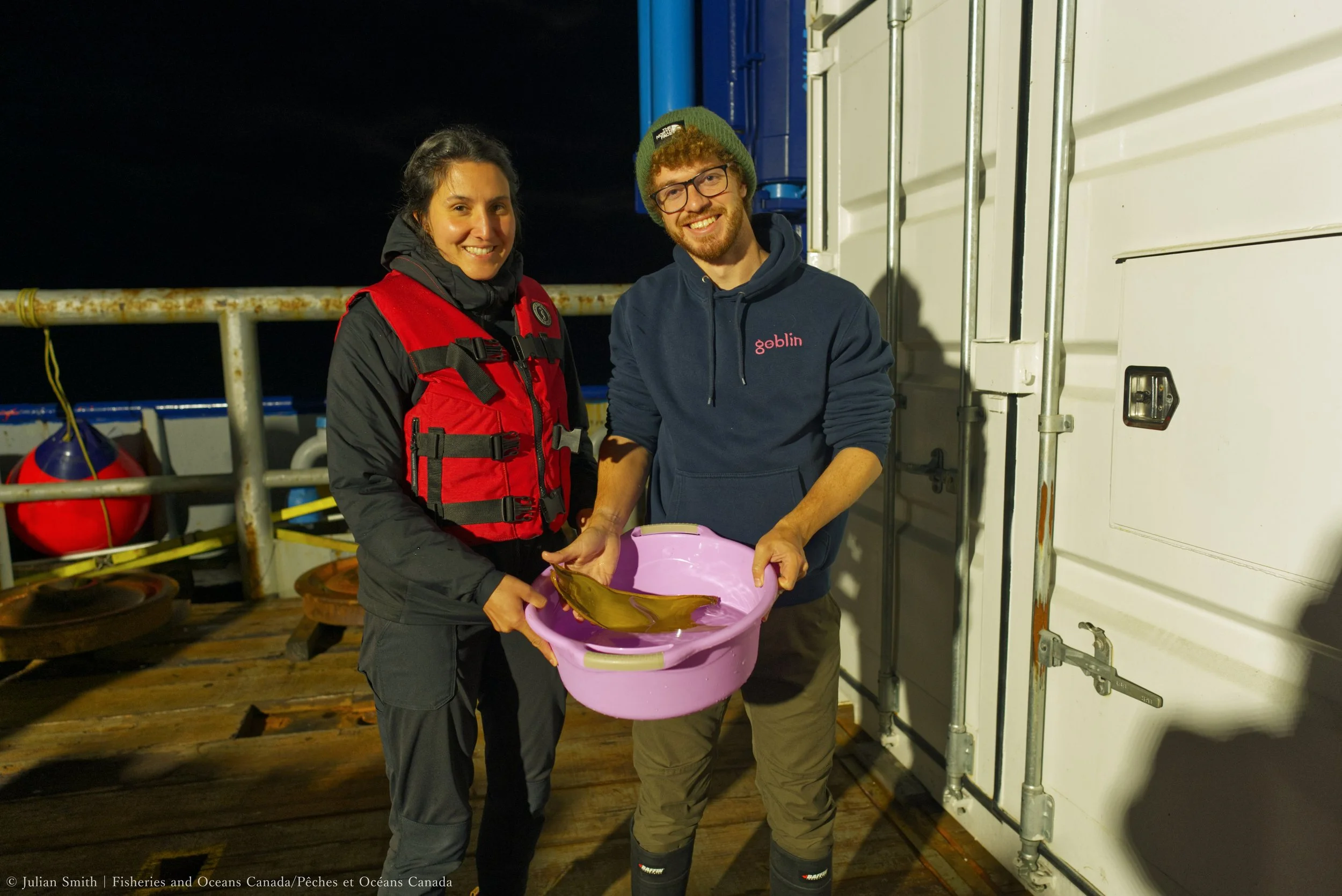
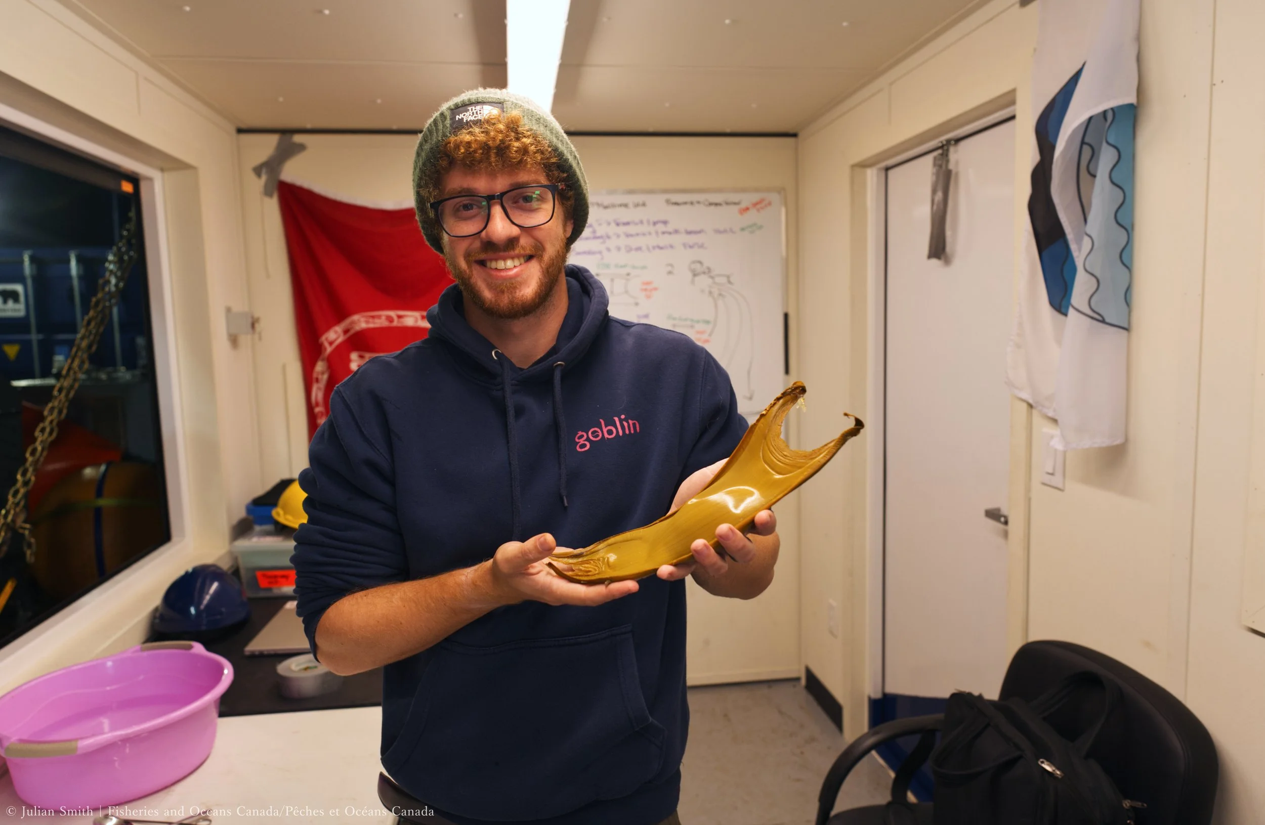
You spot a female White Pacific Skate mid-laying an egg!
Samples from collected from over 1500 m below the surface floor.
Processing skate eggs for a nursery energy study.
Skate egg got a ride up in the ROV manipulator
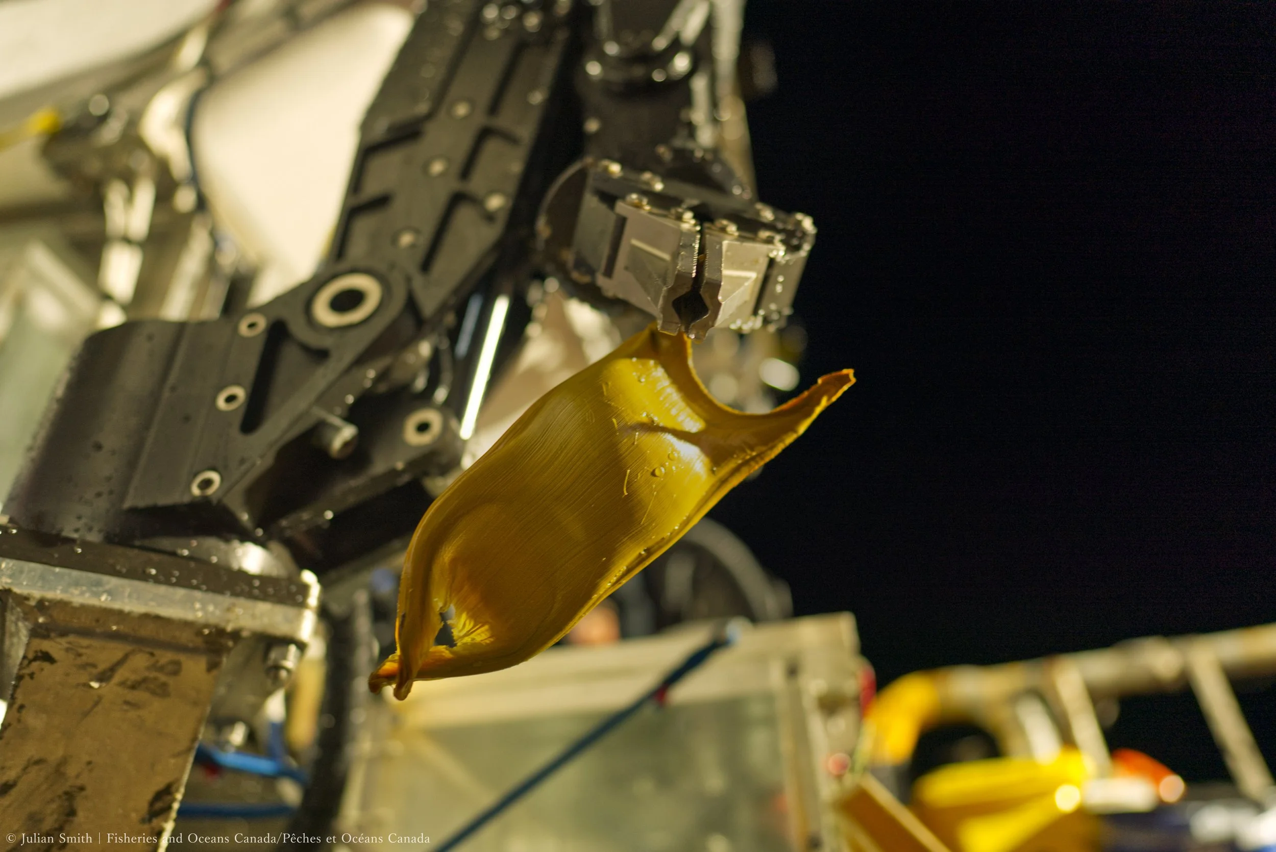
The golden egg of a Pacific White Skate
Outreach at sea
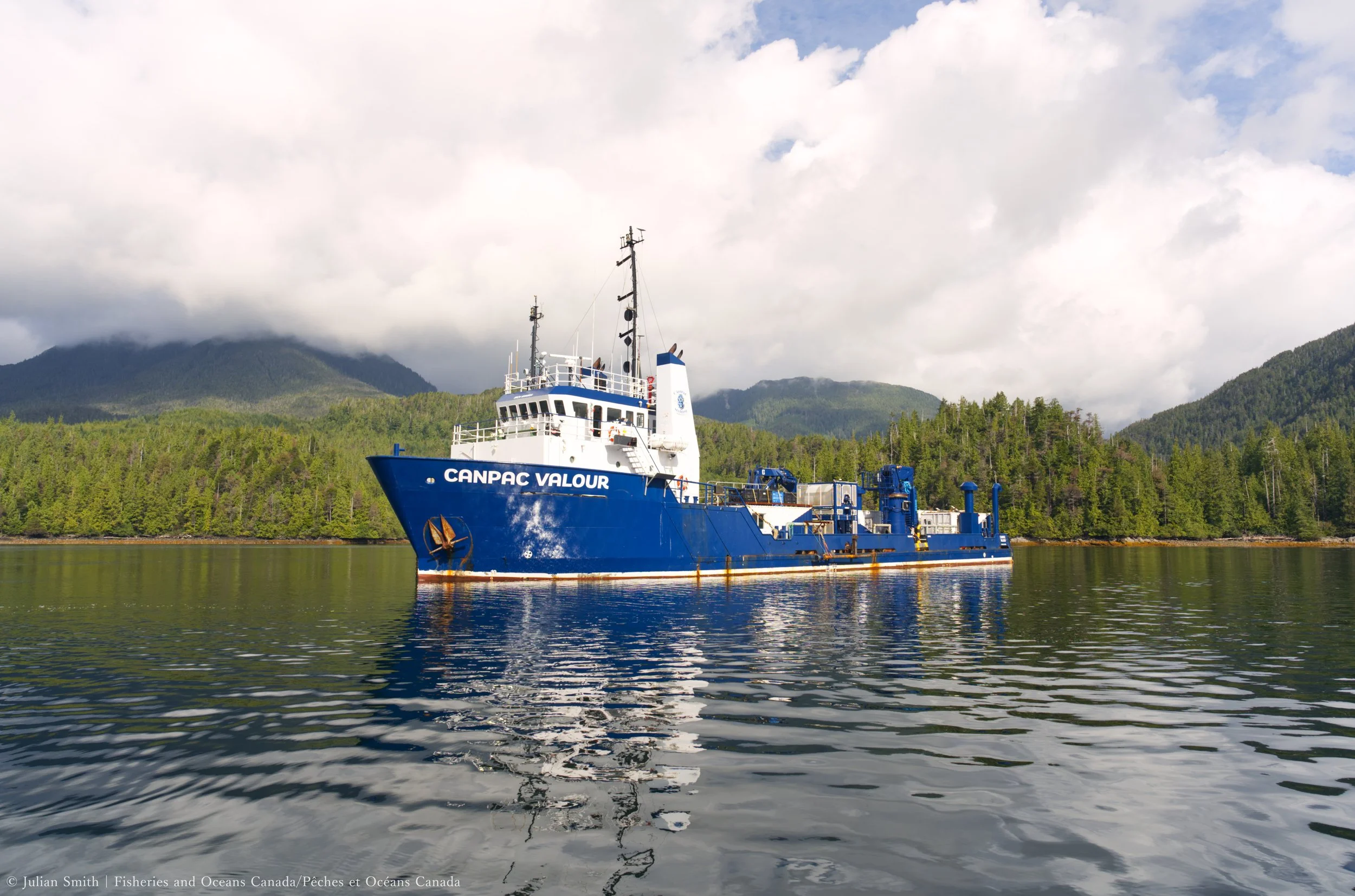
The Canpac Valour
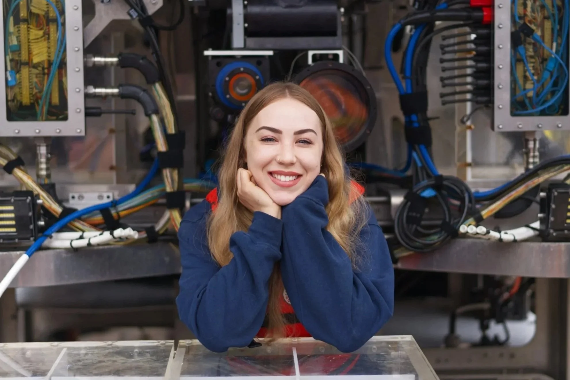
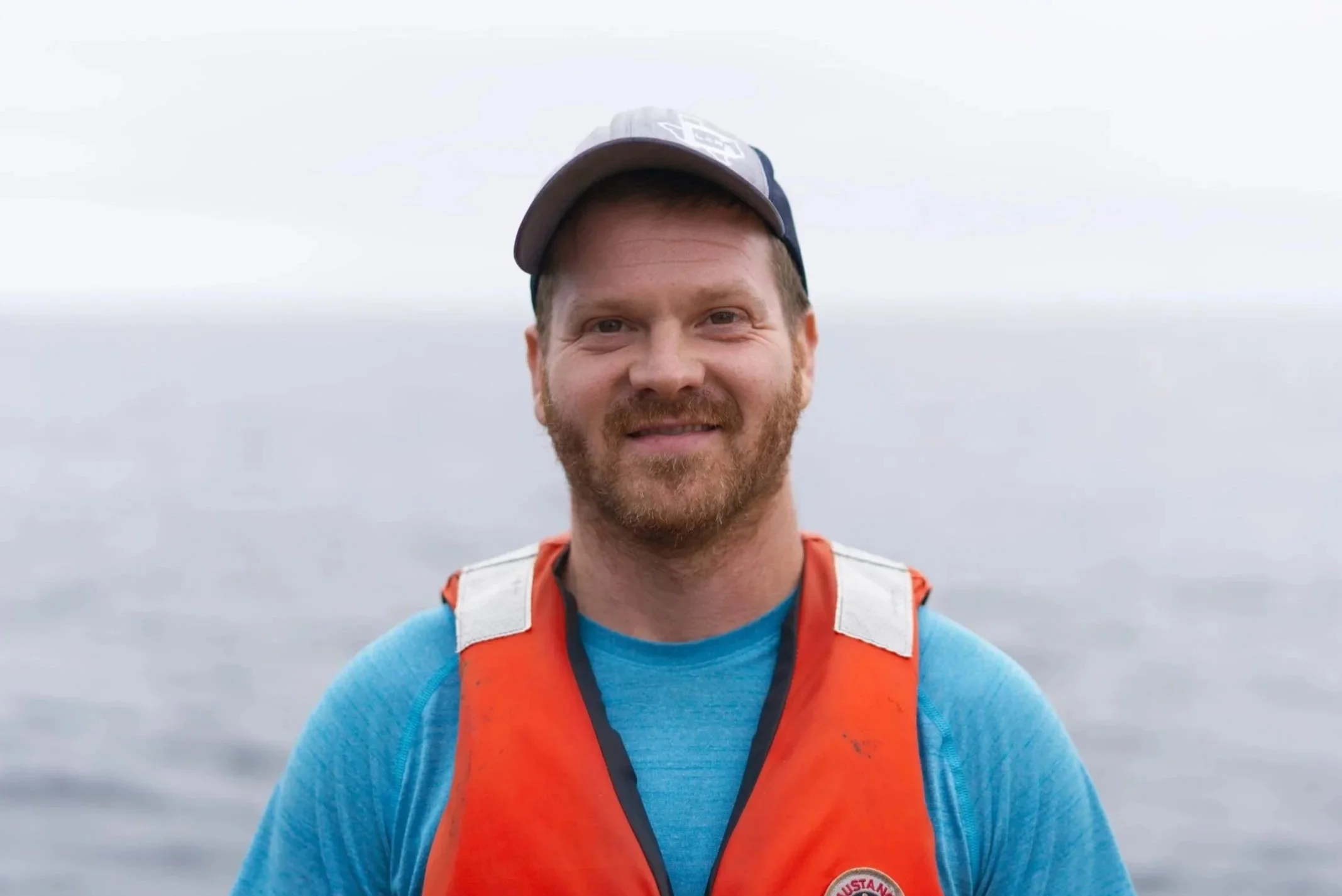
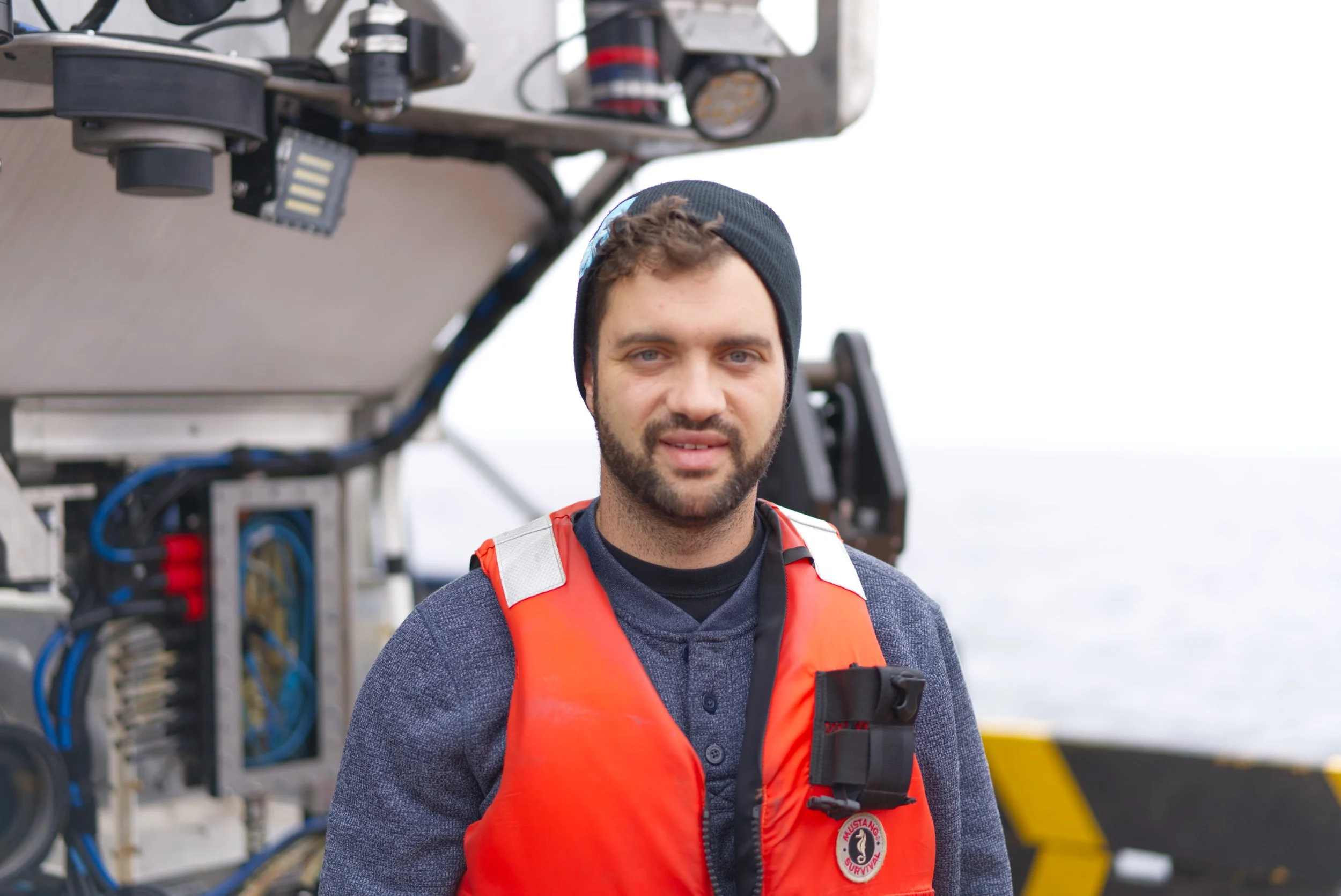
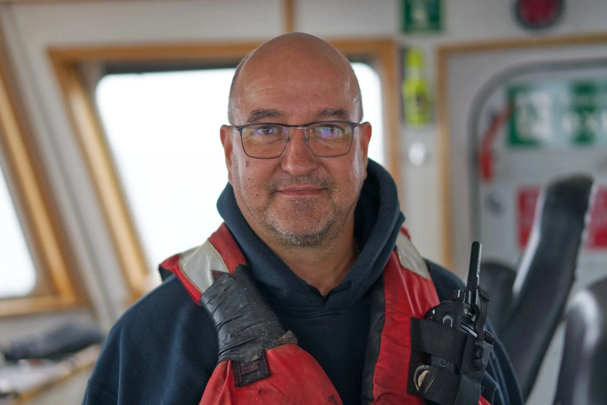
At-Sea Team
-
Heidi Gartner
Science Lead
-
Tammy Norgard
Science Lead
-

Marilyn Brière-Deschênes
Mapping Lead
-

Daniel Labbé
Sampling Coordinator
-

Julian Smith
Sampling Team and Photographer
-

Travis Houston
Hydrographic Surveyor
-

Justin Poon
Hydrographic Surveyor
-
Peter Bunton
Engineer
-

Ben Lott
Captain
-

Eric Vail
First Officer
-

Josh Tetarenko
ROV lead
-
Heather Lacasse
ROV pilot
-
Scott Spurr
ROV pilot
-
James Barnett
ROV pilot
-

Mike Burns
Bosun
-
Robbie Jadresko
Deck Hand
-

Damian Prlic
Deck Hand
-

James Materi
Cook
-

Zenon Joniec
Engineer
-
New List Item
Description goes here
The NEPDEP Partners
-

Council of the Haida Nation (CHN)
-

Fisheries and Oceans Canada (DFO)
-

Nuu-chah-nulth Tribal Council (NTC)
-

Ocean Networks Canada (ONC)
-

Royal British Columbia Museum (RBCM)
-

University of Victoria (UVic)